
Geodesy Tools
Simplify complex geodetic data processing tasks
Description
Transform raw field measurements into reliable geospatial data with Geodesy Tools. This specialized collection of utilities tackles the essential yet often tedious calculations required in surveying and geodesy. From reducing angle and distance observations to calculating areas and volumes, the software automates and standardizes your workflow. It serves as a crucial bridge between data collection and high-level GIS or CAD software, ensuring your foundational data is clean, consistent, and ready for the next stage of your project.
Screenshots
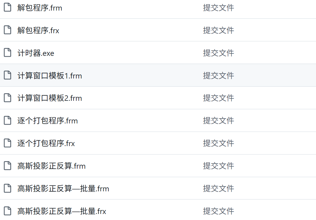
Click to view full size