
GeoRefImg
Position and scale images to real coordinates
Description
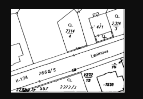
Transform your AutoCAD projects with GeoRefImg, the efficient solution for assigning real-world coordinates to raster images. This tool simplifies the process of aligning aerial imagery, historical maps, or site photographs to their correct geographic location and scale within plain AutoCAD. Featuring support for numerous filetypes, it eliminates format conversion hurdles. Define custom control points, set exact extents, and achieve perfect registration, providing a reliable spatial context that enhances the accuracy of your CAD drawings for engineering, architecture, and land development.
Screenshots
Click to view full size