
Aven
Visualize and survey caves with reliable precision
Description
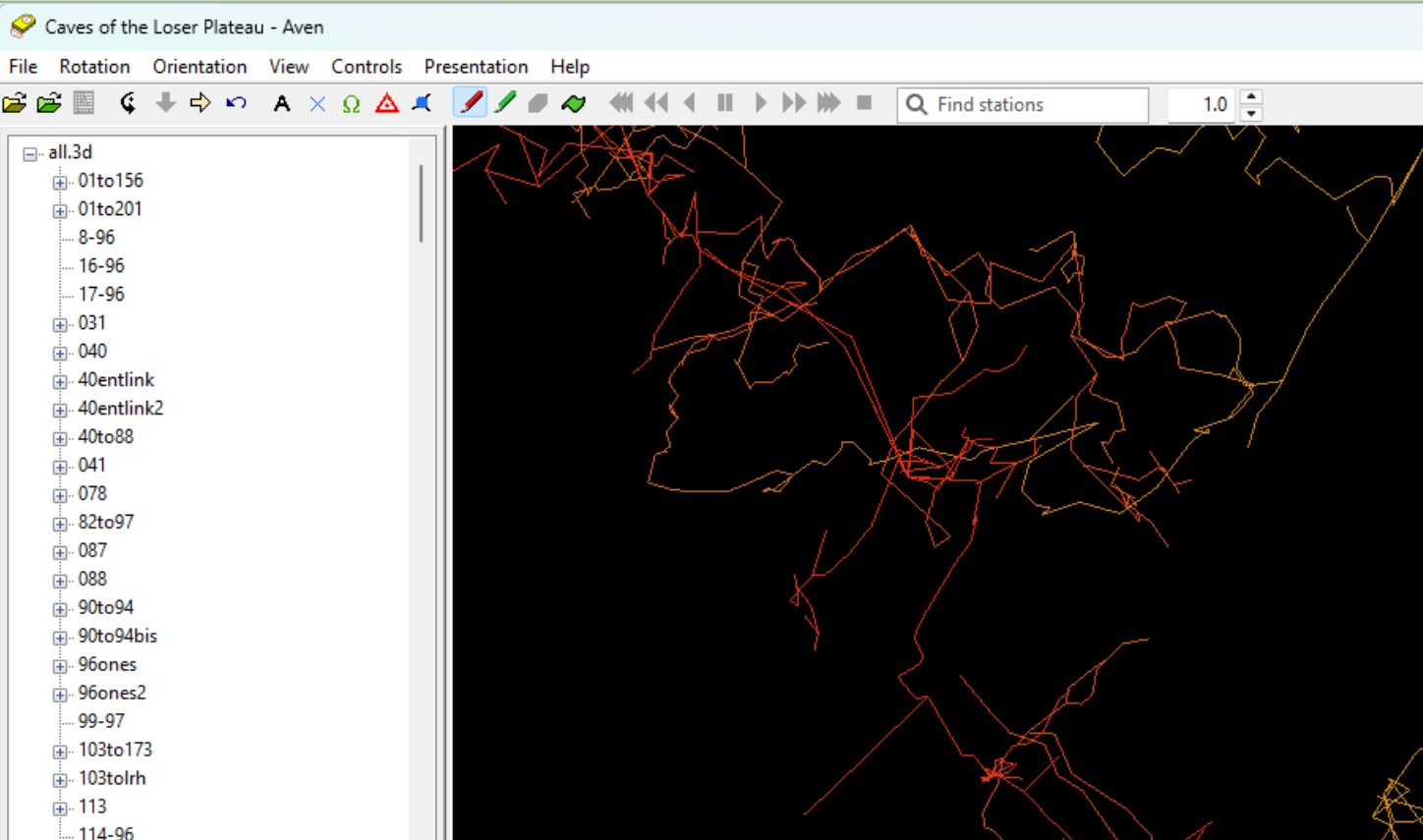
Engineered for subterranean exploration, Aven is a robust software solution for cave surveying and visualization. It serves as a digital field notebook and modeling studio, enabling users to process compass, clinometer, and distance measurements into comprehensive 3D representations of any underground system. Beyond basic mapping, Aven offers tools for analyzing passage dimensions, creating elevation profiles, and generating publication-quality maps. Its stability and accuracy make it a trusted tool for caving clubs, academic researchers, and conservationists dedicated to understanding and preserving the intricate geometry of the world beneath our feet.
Screenshots
Click to view full size