
TatukGIS Viewer
Advanced GIS map application for professionals
Description
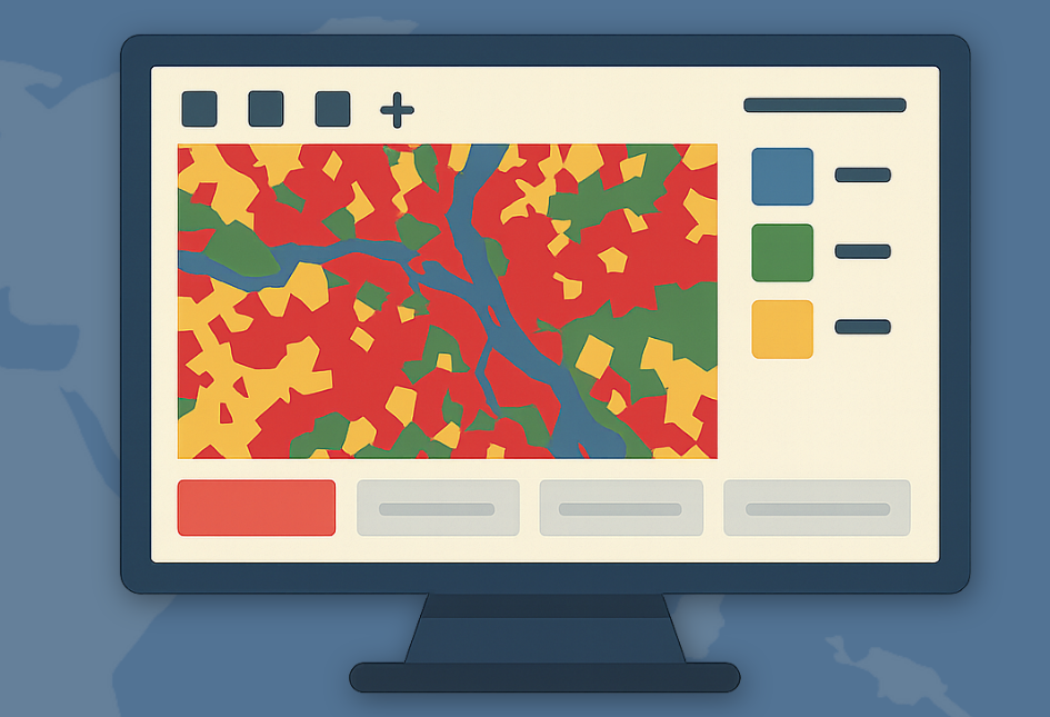
TatukGIS Viewer is a high-level GIS map application that handles a wide array of data formats, including over 75 geospatial vector, image, grid, and database layers. It supports most raster images and GIS/CAD files, as well as professional projects like those from ArcView, MapInfo, and ArcExplorer. This tool simplifies data access and rendering for efficient geospatial analysis and mapping tasks.
Screenshots
Click to view full size