
Panoply
Visualize NASA geo-gridded datasets easily
Description
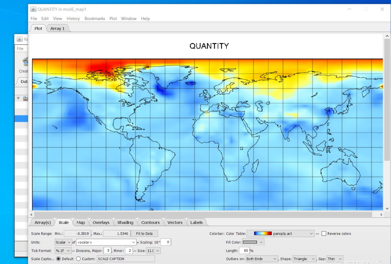
Explore and plot raster images from geo-gridded data with Panoply, a user-friendly tool developed by NASA. It handles common formats such as netCDF, HDF, and GRIB, offering features like data slicing, animation, and export options. Perfect for educators and analysts, Panoply helps transform raw array data into clear visualizations, fostering better understanding of Earth science phenomena and supporting data-driven decisions in an accessible way.
Screenshots
Click to view full size