
GeoServer
Create detailed maps from geospatial information
Description
GeoServer is a specialized server that allows users to transform raw geospatial data into rich, detailed maps for visualization and analysis. It supports a wide range of data formats and adheres to open geospatial standards, making it easy to integrate with other tools. Ideal for Mac and Linux environments, GeoServer helps professionals in sectors like agriculture and disaster management to communicate spatial insights effectively, enhancing productivity and situational awareness.
Screenshots
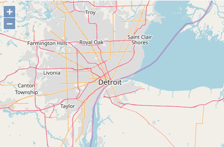
Click to view full size