
Java Graticule 3D
Streamline geodetic calculations and 3D mapping
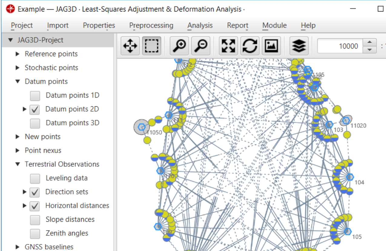
Description
Designed for geodetic and mapping professionals, Java Graticule 3D offers a comprehensive suite of tools for network estimation and spatial data processing. Its intuitive interface simplifies complex transformations while delivering robust 3D earth rendering and map visualization capabilities. Available for both Mac and Linux platforms, this Java-based solution ensures precise results for surveying projects, geographic analysis, and educational applications in geodesy.
Screenshots
Click to view full size