
OpenJUMP
Create and manage GIS projects efficiently
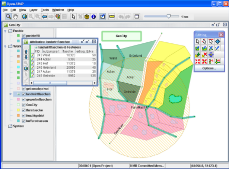
Description
OpenJUMP enables users to build new GIS projects from scratch, incorporating layers and categories for structured data management. It supports editing geometries and attributes in shapefiles or GML files, ensuring accurate updates. As a versatile GIS viewer, it offers intuitive tools for data visualization and adjustment. Ideal for mapping tasks, it streamlines workflows with configurable settings to meet diverse user needs.
Screenshots
Click to view full size