
OpenAthena for Android
Drones find exact spots instantly.
Description
OpenAthena helps drones pinpoint precise locations using image and sensor data. It works offline with elevation models to show exact spots right away. Need an OpenTopography API key? Check the link for setup.
Screenshots
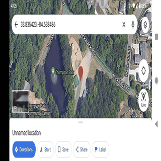
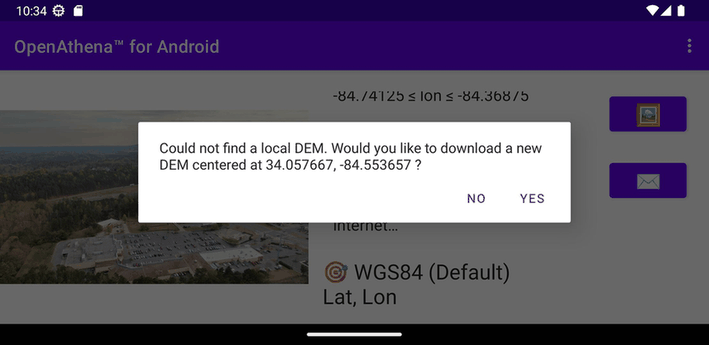
Click to view full size
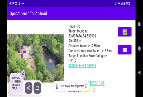
Click to view full size
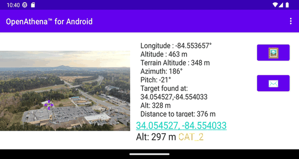
Click to view full size
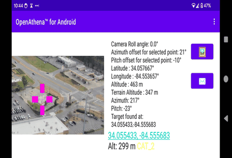
Click to view full size
Click to view full size
Click to view full size